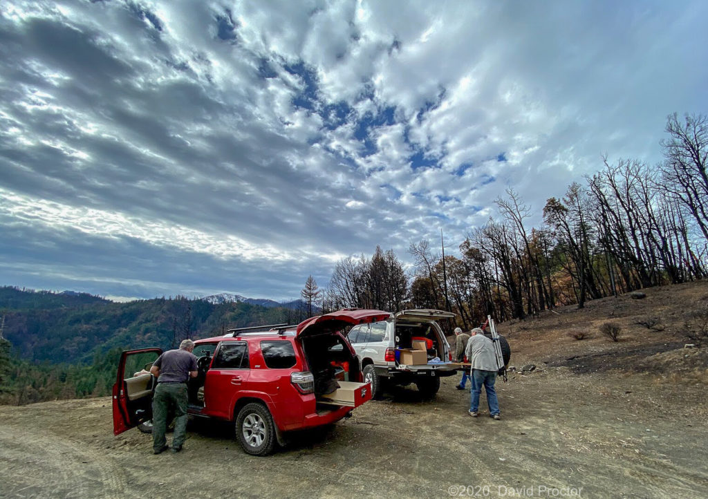
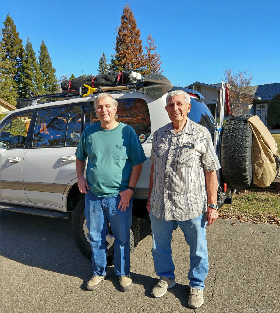
Leonard, Jon, David and Cliff’s December 5th trip for the mine assessment work and to replace the burned mining claim markers. We would also see the impact the 145,000 acre Red Salmon Complex Fire had on the area. Leonard is the family member that maintains the mining clam and does the assessment work every year. With the fire Cliff volunteered his Land Cruiser in case the road was in rough condition.
Fire summary: The forest came through the fire surprising well. After seeing the mega fires the state has been having, it was good to see how a healthy forest can deal with fire.
Family Mine History
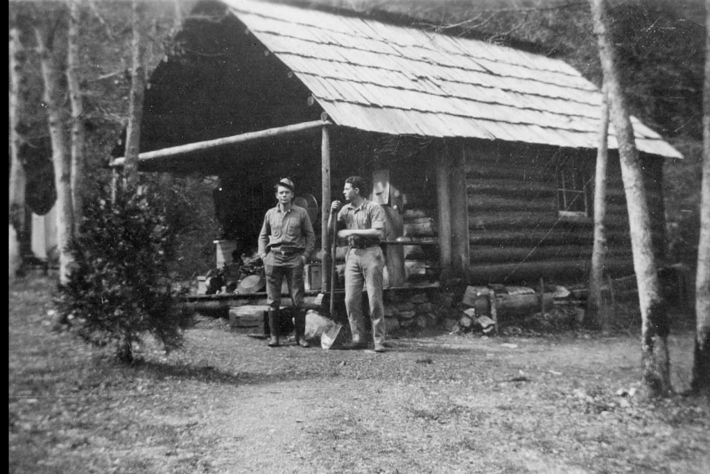
Cliff’s Dad, Cliff and his brother Erwin staked this mining claim in 1930 and worked the claim until 1940 to make a living during the Great Depression. The mine is located halfway between Eureka and Weed
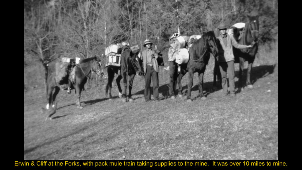
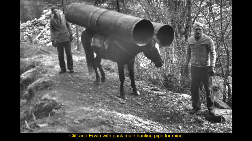
At that time it was 12 miles to the nearest road, so supplies and equipment was brought in by mules.
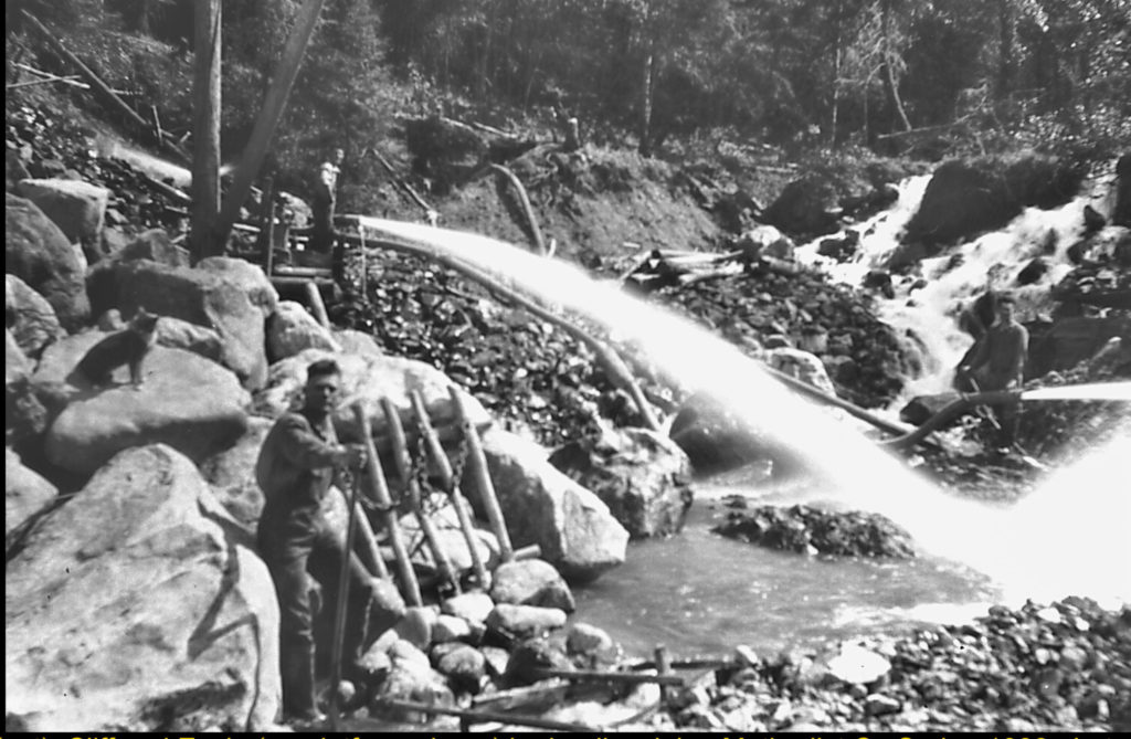
Their initial mining claim was for placer mining, later a 2nd claim was filed for hard rock mining some miles away. During the 1930s a 150 foot tunnel was dug and a shaft was sunk on the 2nd claim.
In the mid 1960s a lumber company acquired rights to the timber in the watershed our mine was located in and road work was started.
In 1965 with the new roads started we could get within 6 miles of the mine and hike in from there. My Uncle’s family decided to make the trip to the hard rock mine and reclaim it, as the new road would reach to the mine in a couple of years. My Dad, brother and I joined them and it was my first trip to the mine.
The area around the mine was checkerboard clearcut between 1968 and 1972. The area is remote and until the logging roads were put in for this logging, I don’t think any logging took place prior to the roads. The roads now allow us to drive to the mine. The roads are currently maintained as Forest Service roads.
I know there hasn’t been fire in the area since I have been going up, and think it may have been sometime before the mine was claimed in 1930 when the area last had a fire.
Mine Assessment Work and aftermath of Red Salmon Complex Fire 2020
This fire burned over 145,000 acres starting on July 28 2020 and was considered mostly contained in early November.
The area our mine is in was burned between Sept 28 and Oct 6.
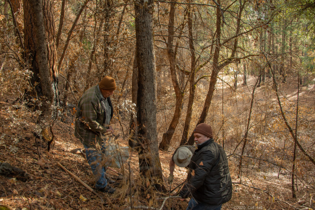
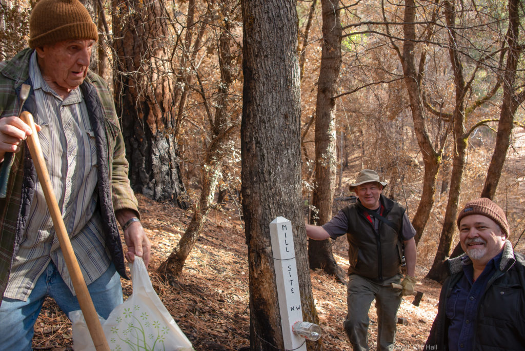
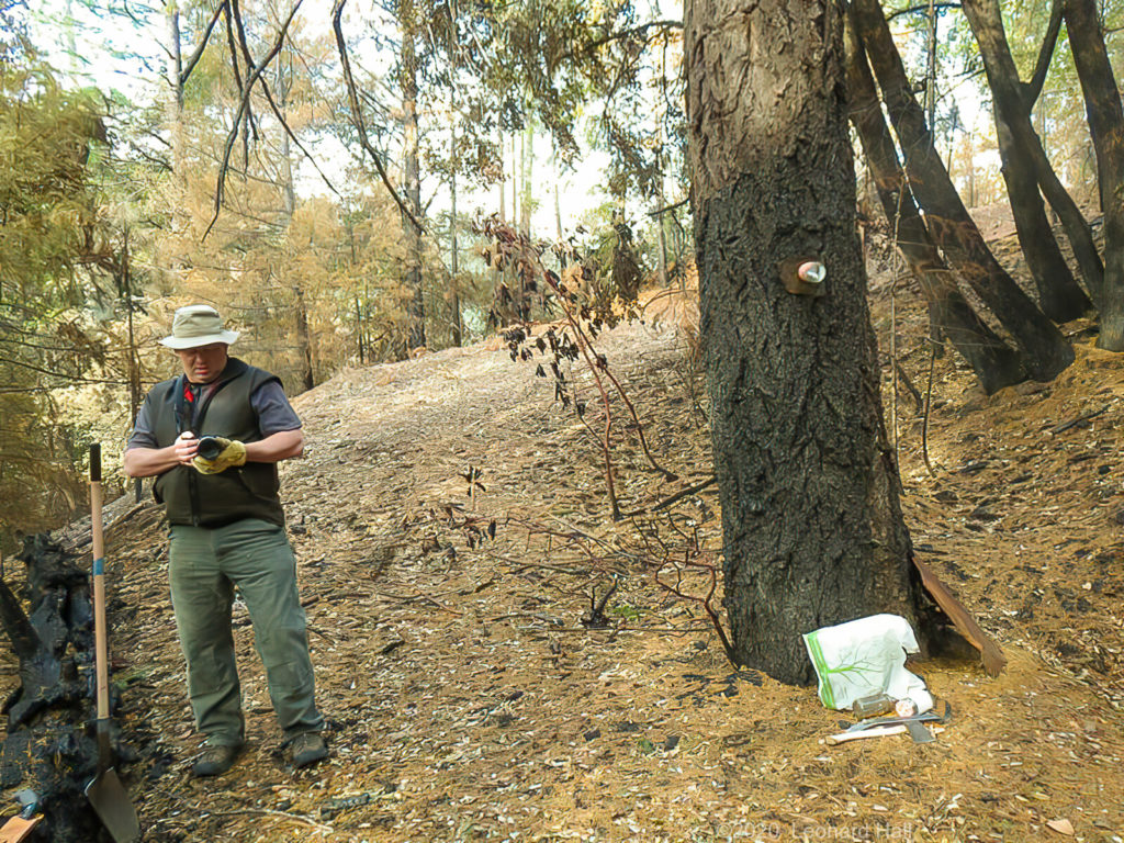
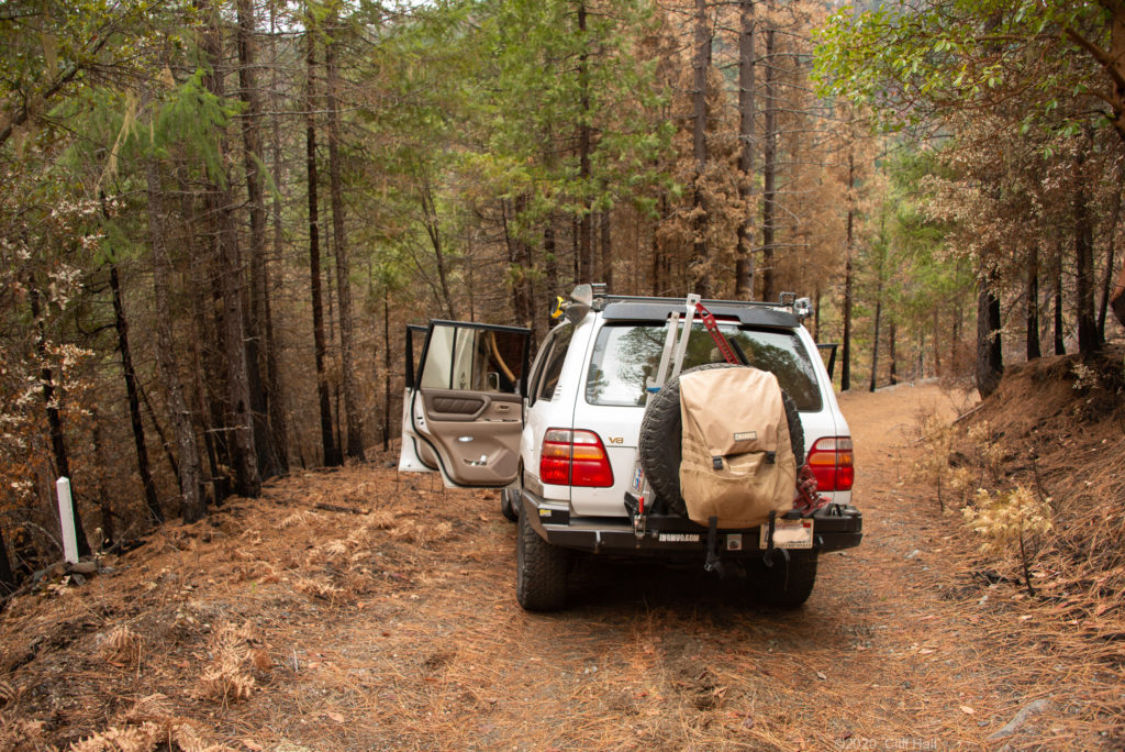
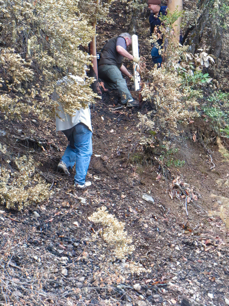
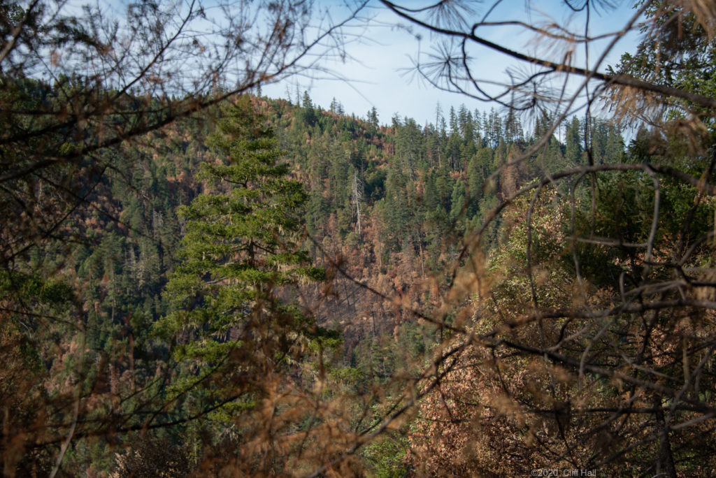
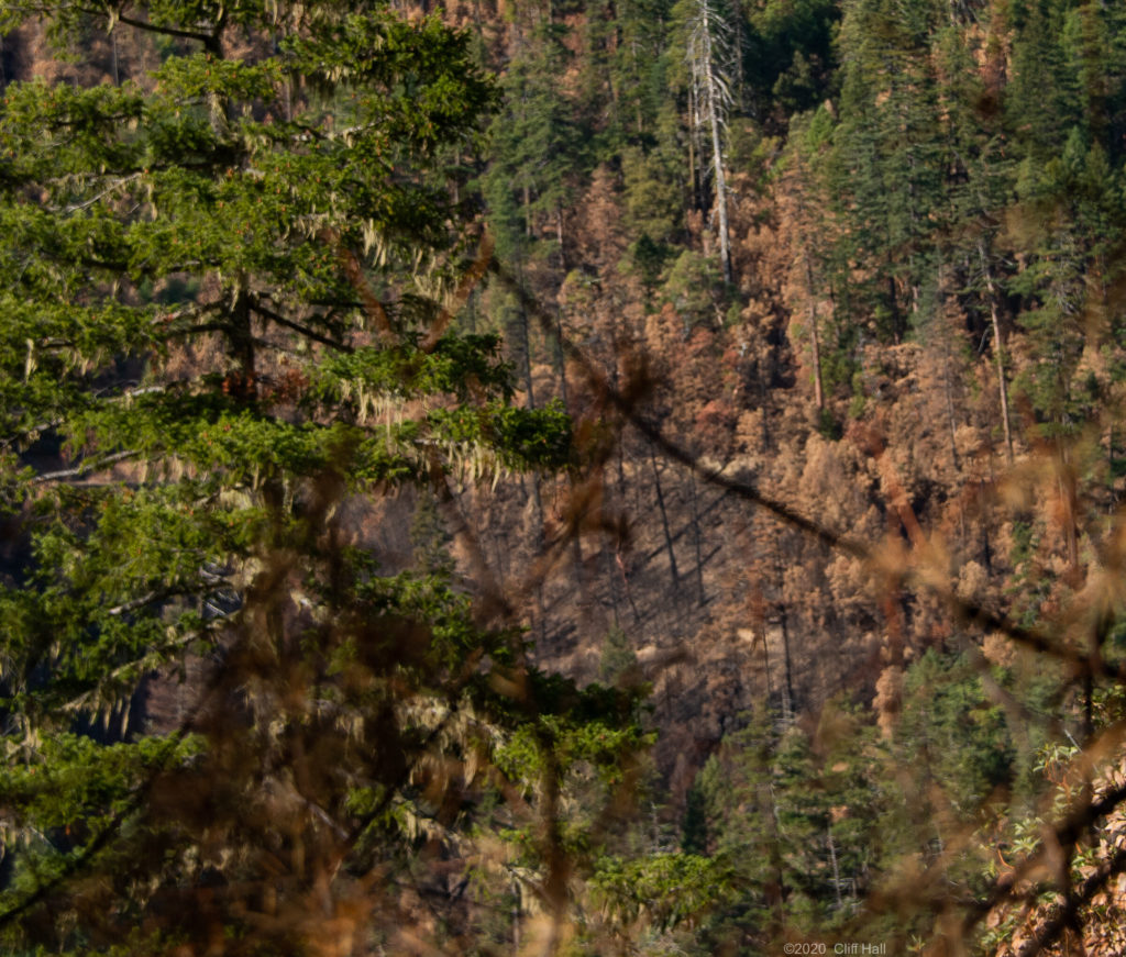
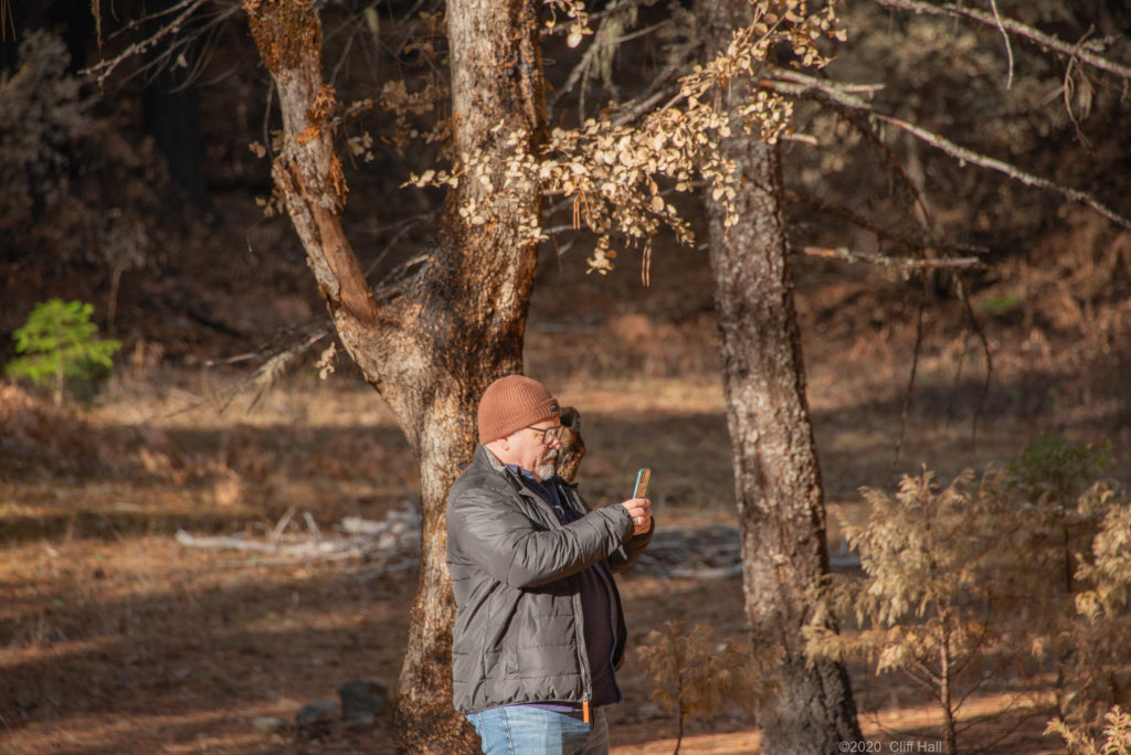
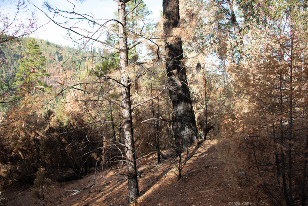
On December 5th my cousins and I arrived to do mine assessment work and replace burned claim markers. Driving to the mine we were surprised at how green things looked and how few areas were blackened. For the most part the fire was contained to undergrowth. Estimate we saw about 13,000 acres of the area the fire burned on our trip into the mine. Those acres looked like these two photos below, mostly green with an occasional burnt out area.
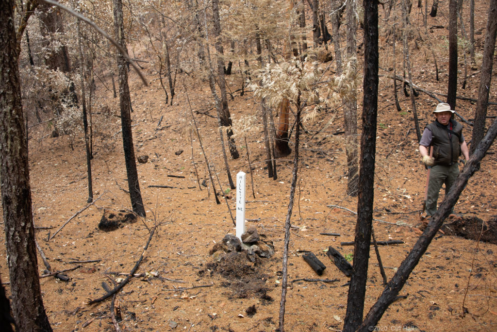
The forest duff and tree stumps were burnt; the stump and roots were burned out many feet into the ground, as you see below.
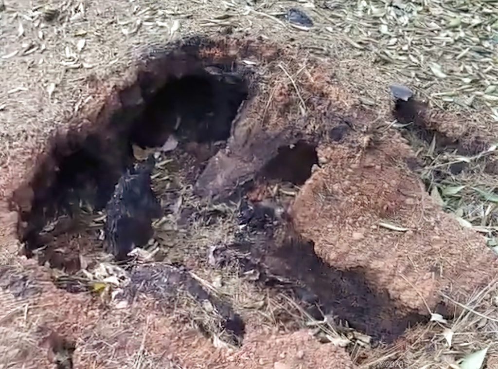
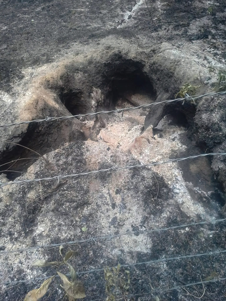
Expect small animals will use these tunnels as homes.
Arriving at the mine we were pleasantly surprised at how well the forest came through the fire. All the duff, downed branches and trees had burned off leaving ash, with the needle drop since covering up the char.
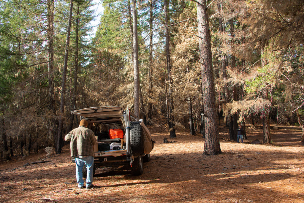
As we went about replacing claim notices and burned boundary markers you could see some charring on trees and see ash under the needles. All of the area at our mine looked like the undergrowth had burned.